

Lot n° 189
Estimation :
80 - 120
EUR
Result with fees
Result
: 400EUR
LEVASSEUR, Victor. Illustrated NATIONAL ATLAS of the 86 dep - Lot 189
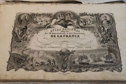
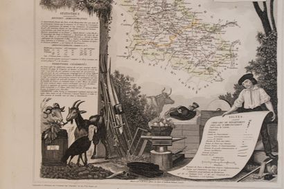
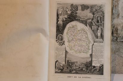
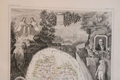
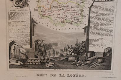
LEVASSEUR, Victor. Illustrated NATIONAL ATLAS of the 86 departments and possessions of France divided by arrondissements, cantons, and communes with the layout of all roads, railroads, and canals. Paris, Combette, 1856.
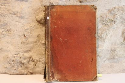
Large Italian-style folio, half-basin with corners (period binding). This famous atlas is composed of 102 plates:
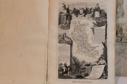
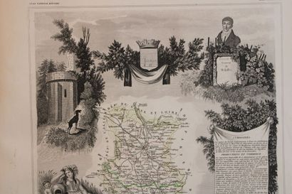
an illustrated title, a statistical table, 86 maps of the departments, 6 maps for the colonies, 1 world map, 6 maps for the continents (Europe, Africa, America (2), Asia, Oceania), and 1 map of France on double page. The limits of the departments are enhanced in colors.
Binding damaged, some plates detached, spine detached.
My orders
Sale information
Sales conditions
Return to catalogue